(Refer to Jeppesen VFR chart ED-6 or figure ED6-13)
Flying from A (N48° 23 E008° 39) to B (N48° 03 E009° 22), TAS 125 kt and forecast W/V 180/25.
Describe the navigational facilities at A:
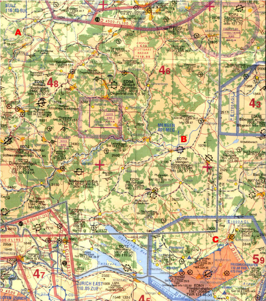
VOR - frequency 116.10 MHz, identifier SUL
VOR/DME - frequency 116.10 MHz, identifier SUL
VORTAC - frequency 116.10 MHz, identifier SUL
NDB - frequency 116.10 kHz, identifier SULZ