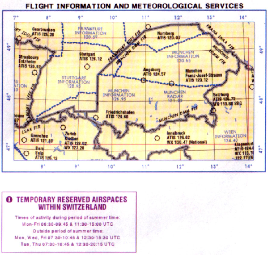
(Refer to Jeppesen VFR chart ED-6 or figure ED6-21)
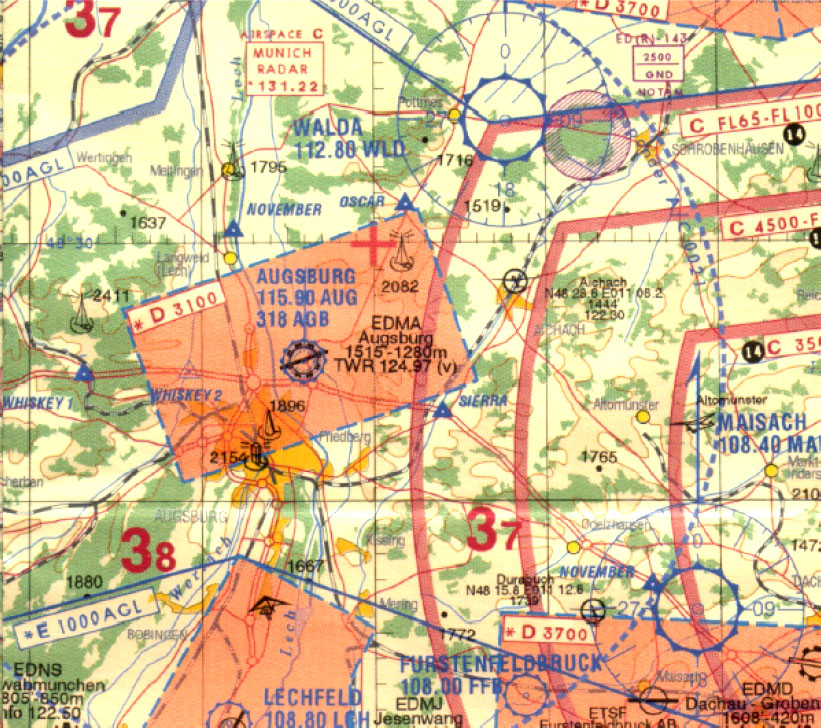
Decode the airfield information at Augsburg (N48° 25 E010° 55) and select the correct statement:
Military airport with hard RWY; elevation 1515 m; longest RWY 1280 ft; TWR frequency 124.97 kHz; VFR flight prohibited
Civil airport with grass RWY; elevation 1515 ft; longest RWY 1280 m; TWR frequency 124.97 MHz; VDF not available
Civil/Military airport with hard RWY; elevation 1280 ft; longest RWY 1515 m; TWR frequency 124.97 MHz; VFR traffic only
Civil airport with hard RWY; elevation 1515 ft; longest RWY 1280 m; TWR frequency 124.97 MHz; VDF available